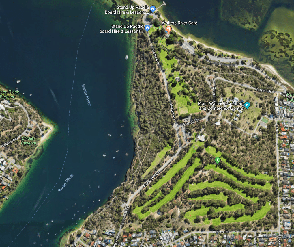
Blackwall Reach Reserve
Blackwall Reach Reserve, and Point Walter Bushland both comprise parts of Point Walter Reserve gazetted for recreation. It is approximately 20 hectares in size. The reserve is vested in the City of Melville. Blackwall Reach Reserve is bounded by Honour Avenue along its eastern boundary fairway, and the Swan River along its western boundary. It is a Bush Forever site.
History
 To the local Aboriginal people the Blackwall Reach/Point Walter area is known as Jenalup or Dyundalup. The most sacred part of the area is the cliffs along Blackwall Reach. In Aboriginal culture it was traditionally a place for women and children. Before white settlement the Beeliar family group (clan) occupied the area. The Beeliar clan is part of the Whadjuk, being one of the 14 language groups, which occupy the Nyungar region in the South-West of WA.
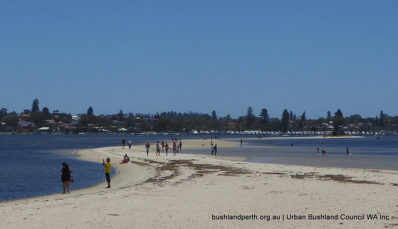
One of the many dreaming trails which run along the Swan River passed through the area now known as Point Walter and Blackwall Reach. The Swan River is highly significant to the Nyungar people, as, in the dreaming, the river was made by the Waugal rainbow serpent. The dreaming trail on the southern side of the river is the Yorga (women’s) trail and the men’s trail is found on the northern side. The sand bar, which stretches out from the point, is the connection between these two trails.
Blackwall Reach Reserve has been Crown land since the late 1800’s. Commander L. S. Dawson R. N. Admiralty Surveyor named the area Blackwall Reach in 1896 – probably after Blackwall Reach on theThames River near Greenwich. In the early 1900’s, the Melville Road Board (now Melville City Council) received complaints regarding the “neglected and unimproved state” of Point Walter. From 1907 to 1912, negotiations ensued with the Minister for Lands for the Melville Road Board to take control of the reserve.
The Melville Road Board soon decided that land communication with Point Walter was essential since river steamers did not provide an adequate service and the road to Point Walter was “little better than a bush track”. In 1915 a tram service was established to Point Walter. It was not a successful operation. The service rarely showed a profit except in the summer months. The tram service did bring Point Walter to life, however. It became a popular picnic spot and restaurants and a dance floor were established.
Physical Environment
 Blackwall Reach Reserve is situated on the western edge of the Spearwood Dune System. The Swan Coastal Plain consists of a series of coastal dunes, running roughly parallel to the coastline. The Spearwood Dune System is bound to the east by the Bassendean Dune System and to the west by the Quindalup Dune System. Each system has a distinctive geology, vegetation, topography, drainage pattern and soil characteristics.
In the Spearwood Dune System, leaching has occurred causing the carbonate to precipitate below to form hard compact limestone. At Blackwall Reach this limestone is exposed at the surface.
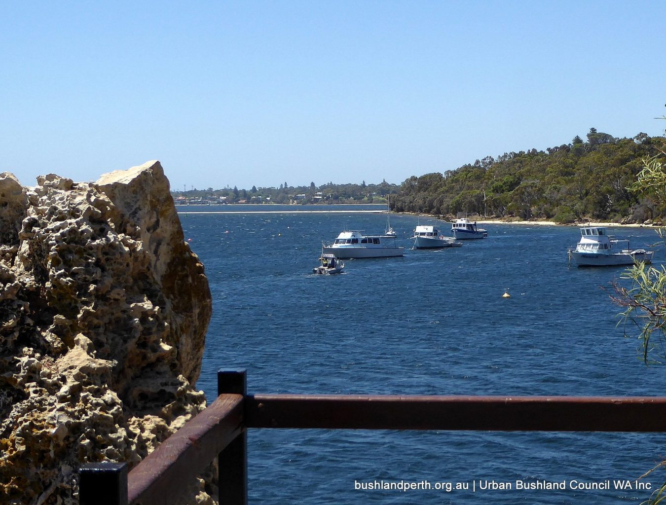
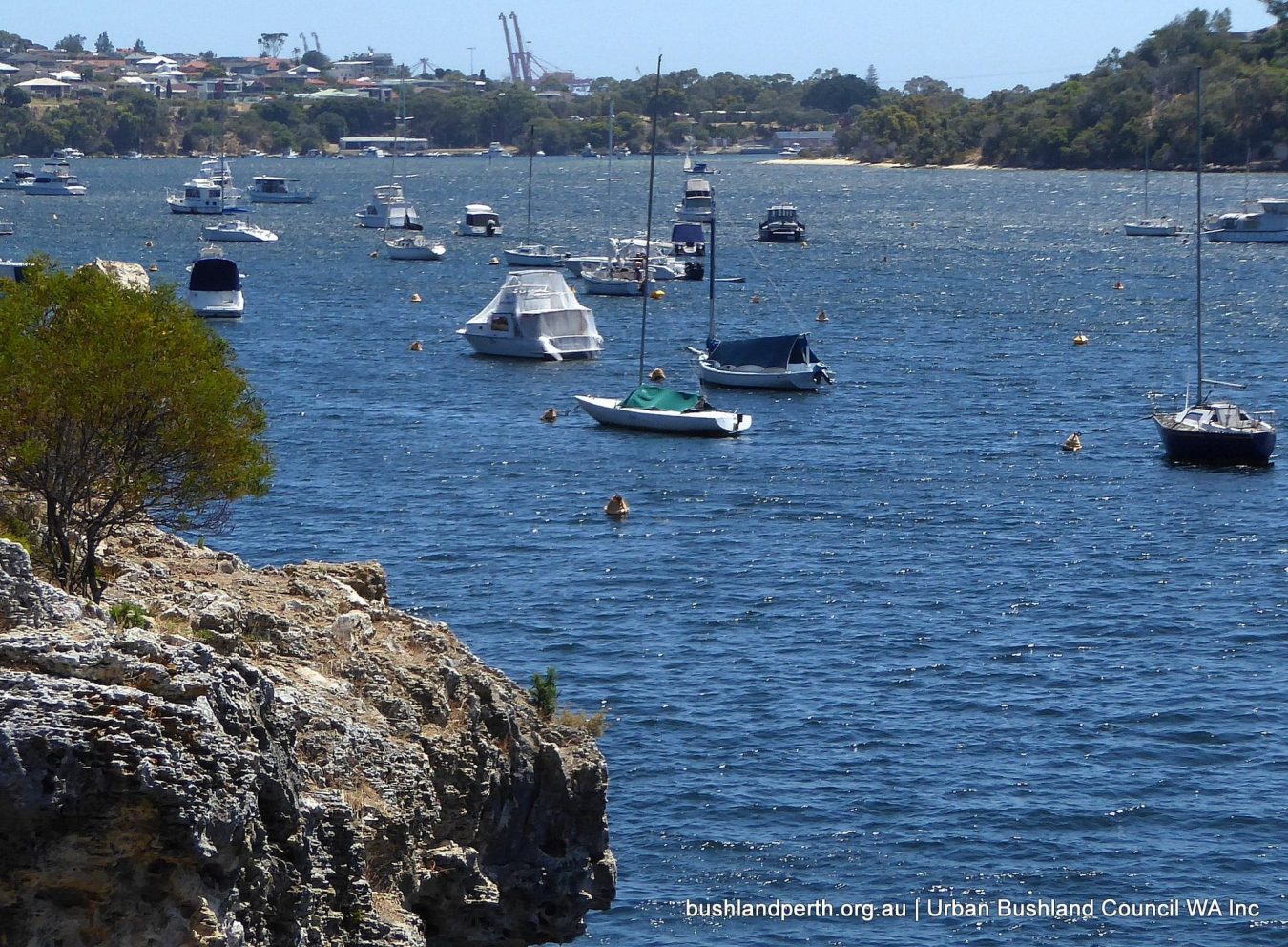
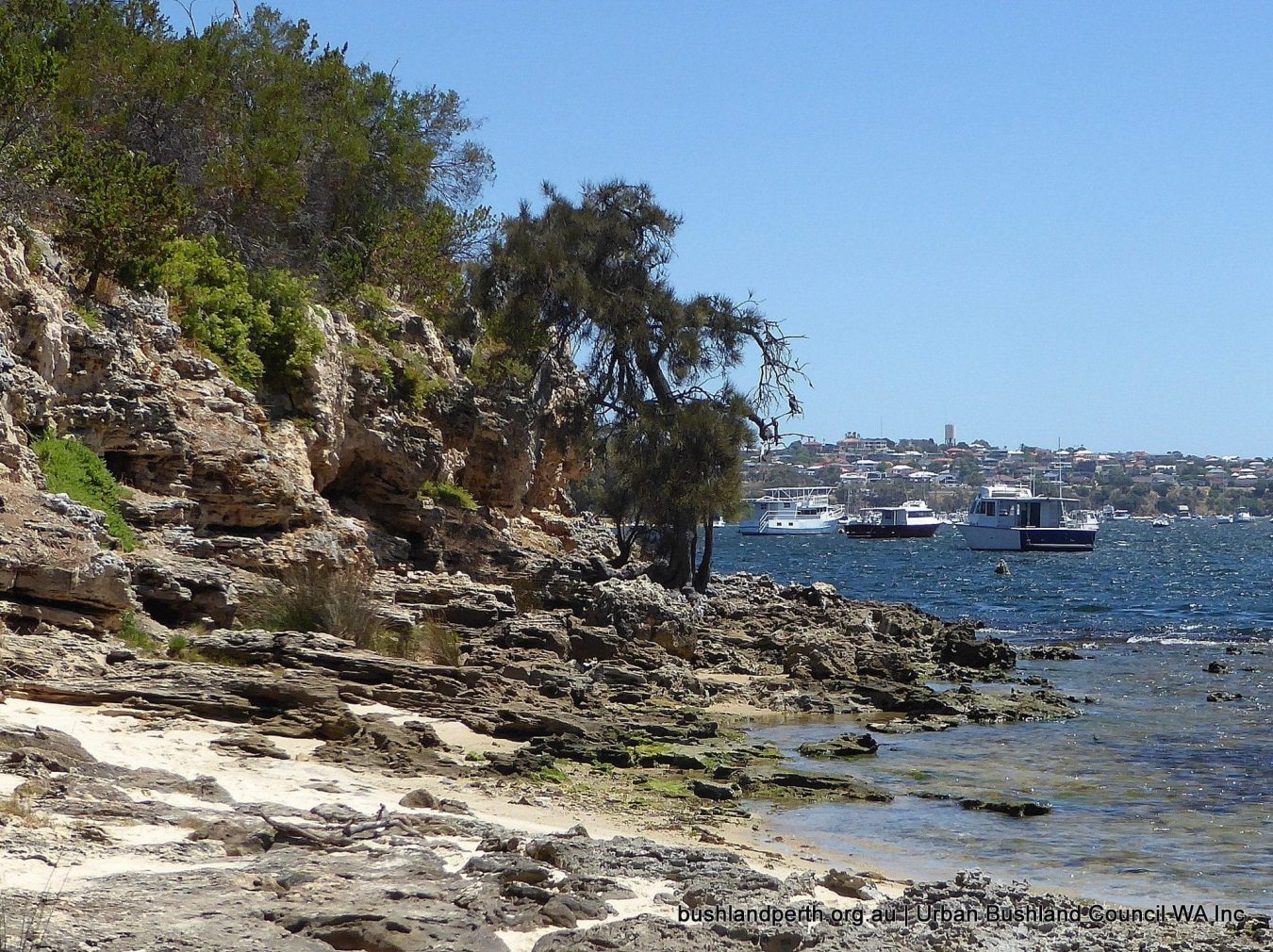
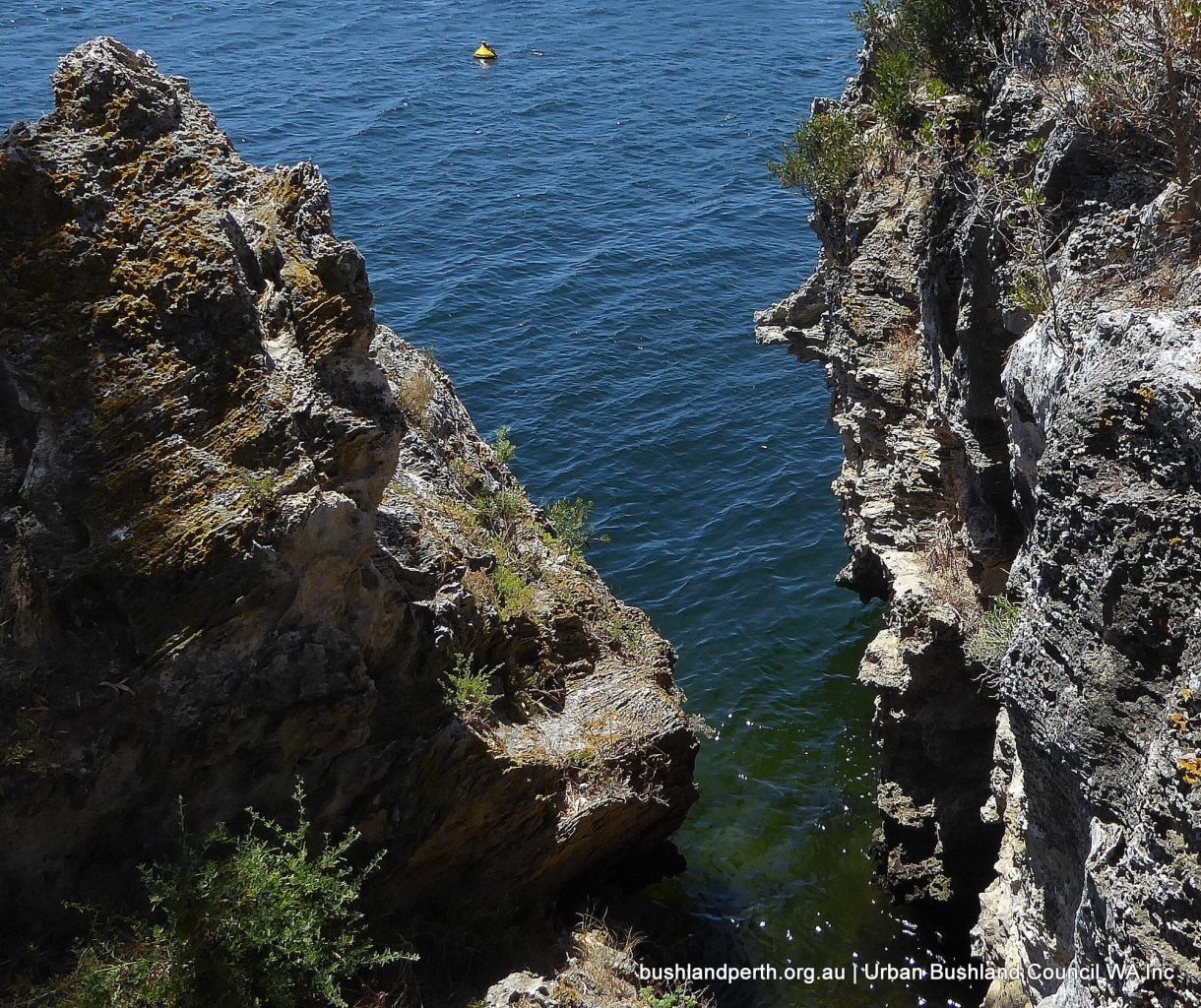
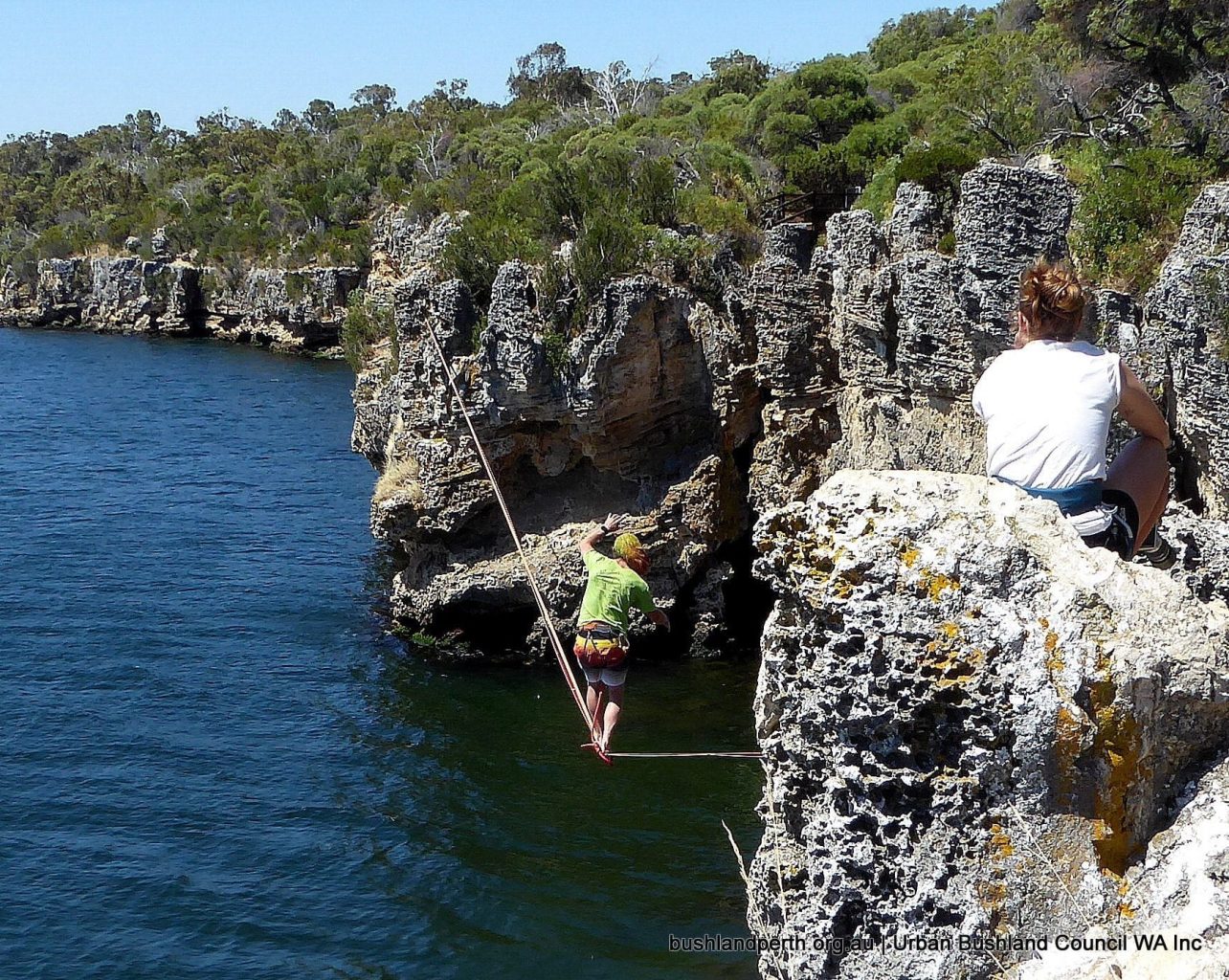
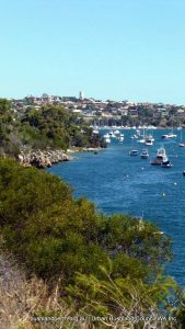
One of the most prominent features of the Blackwall Reach Reserve is the limestone cliffs that rise eight metres out of the Swan River. The cliffs have been formed by the eroding processes of the river, which flows from the wide expanse of Mosman Bay into the narrow gap of Blackwall Reach.
Rainfall has caused the limestone to be deeply attacked physically and chemically producing frequently sharp points and ledges. The soil in the reserve is predominantly brown sand. There is deep yellow sand in the vicinity of the adjacent practice fairway.
Vegetation
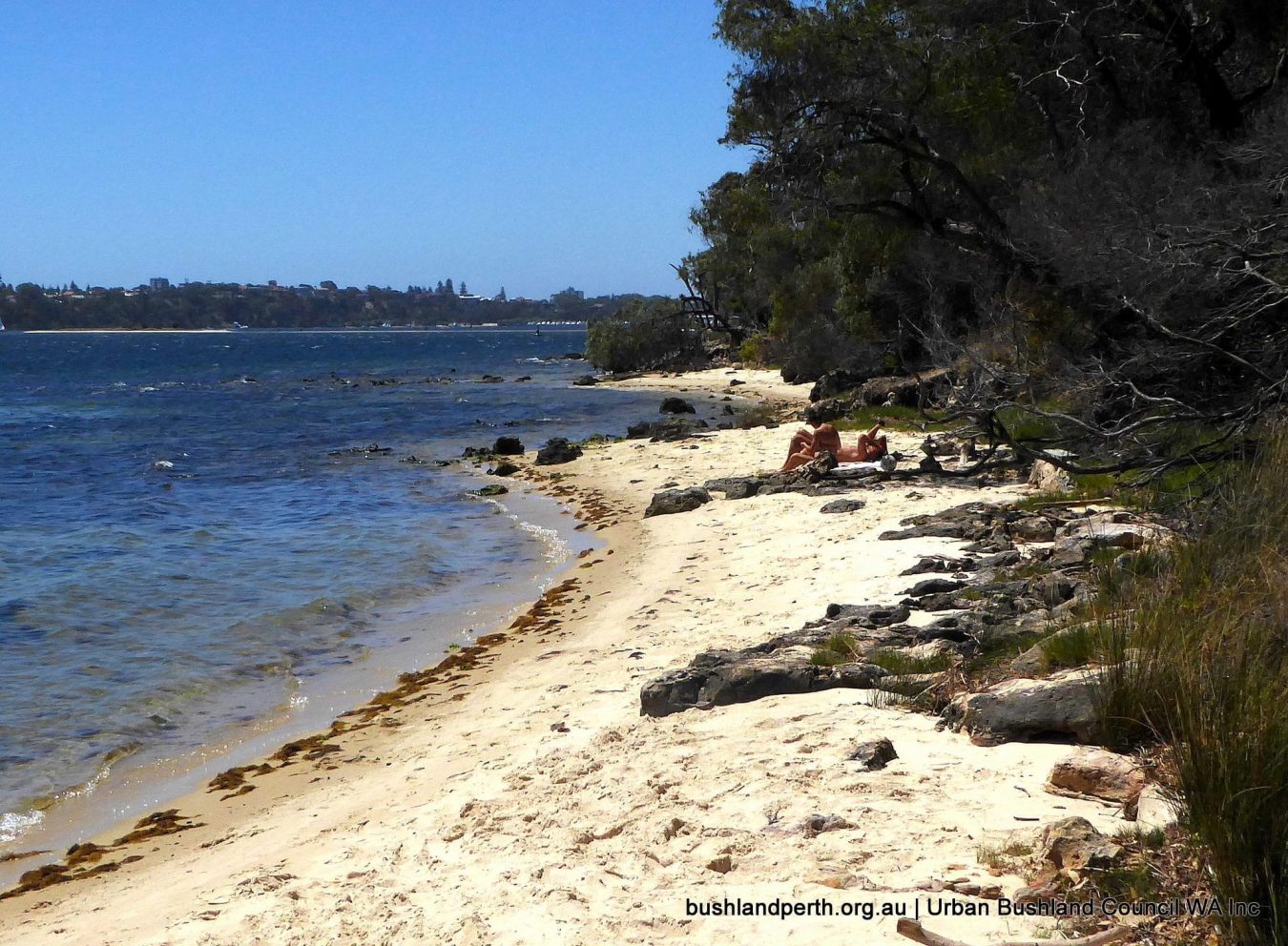
 River Foreshore.
 River Foreshore.
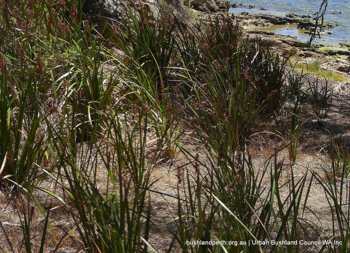
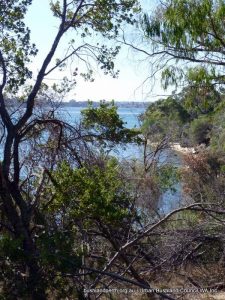
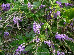
The river foreshore contains sedges and rushes such as Juncus maritimus and Lepidosperma gladiatum (coastal sword sedge). On the banks are tall specimens of Casuarina obesa (swamp sheoak), Agonis flexuosa (peppermint trees), and Hardenbergia comptoniana (native wisteria) and Acacia cyclops (red-eyed wattle).
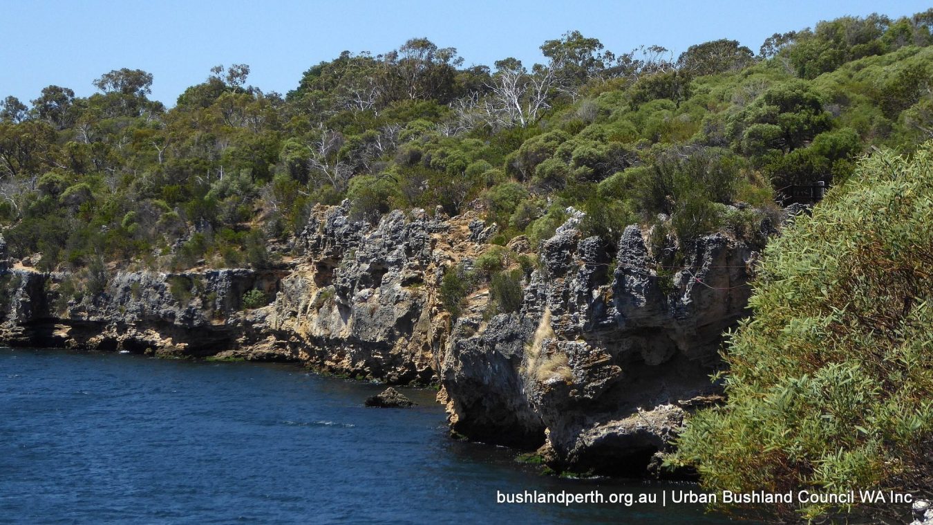
Limestone Cliffs.
Scattered throughout and along the eight metre high cliffs is a variety of vegetation adapted to living on limestone and with salt spray. These include Olearia axillaris (coast daisy bush), Rhagodia baccata (berry salt bush), Alyxia buxiflora and Clematis microphylla (old man’s beard).
Limestone Heath.
The limestone heath vegetation grows on a mixture of limestone outcrops and shallow soil. The heath vegetation includes the richest and most diverse of the vegetation zone in the reserve. The upperstorey vegetation consists mainly of Acacia cyclops (red-eyed wattle), Dryandra sessilis (parrotbush) and Agonis flexuosa. The understorey consists of such species as Scaevola holosericea, Hakea prostrata (harsh hakea), Grevillia thelemanniana, Hibbertia racemosa, Melaleuca systena (formerly M.acerosa) and Templetonia retusa (cockies tongue).
Shrubland.
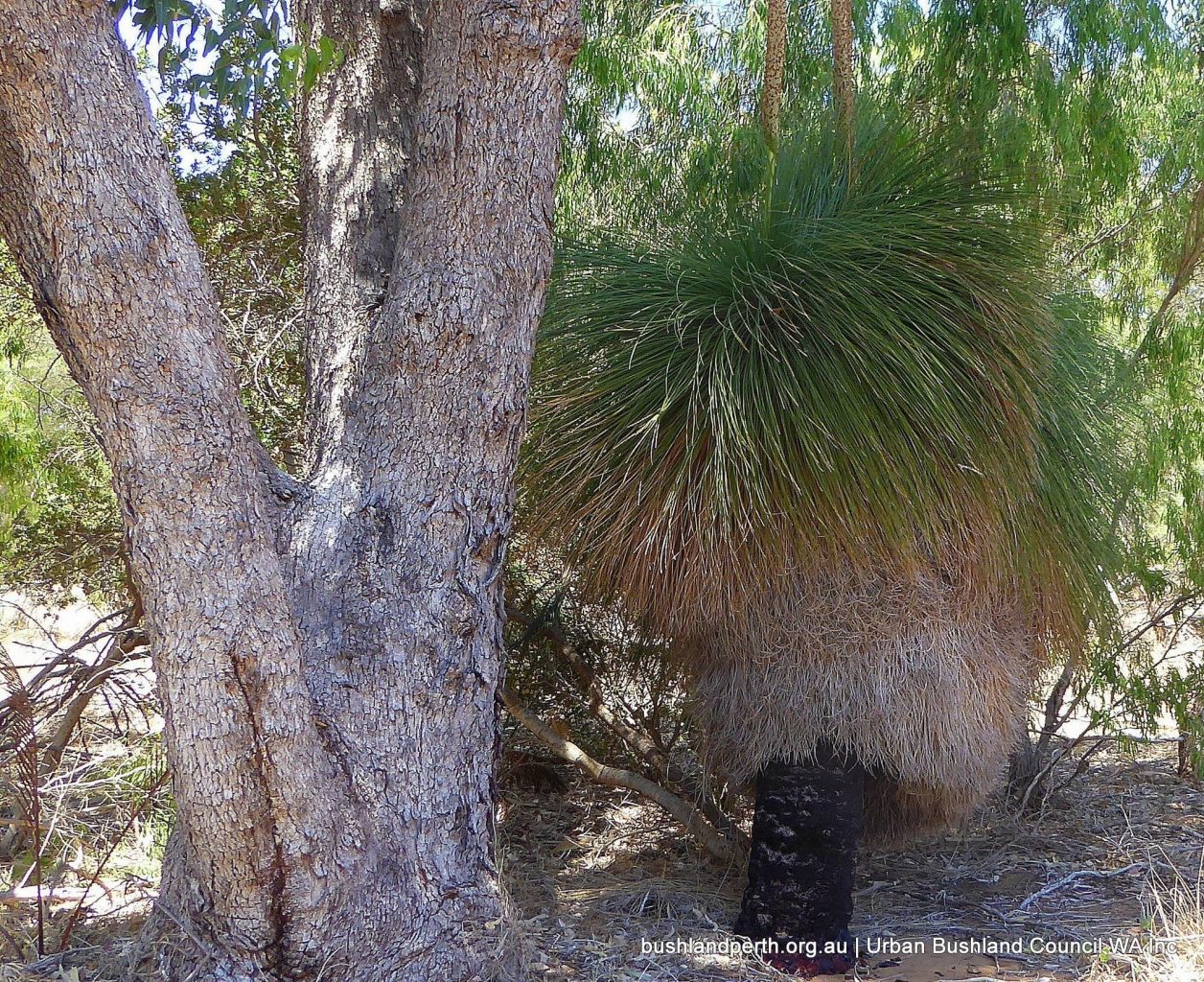
In areas dominated by shrubs, the shrub layer is occupied by Dryandra sessilis (parrot bush) and Agonis flexuosa (peppermint tree) with occasional Eucalyptus gomphocephala (tuart), Banksia attenuata (slender banksia), Banksia menziesii (firewood banksia) and Banksia grandis (bull banksia). The understorey consists chiefly of Xanthorrhoea preissii (blackboy), Macrozamia riedlei (zamia), Ptilotus polystachyus (mulla mulla), Jacksonia sternbergiana (stinkwood), J. furcellata and Hakea prostrata (harsh hakea).
Woodland.
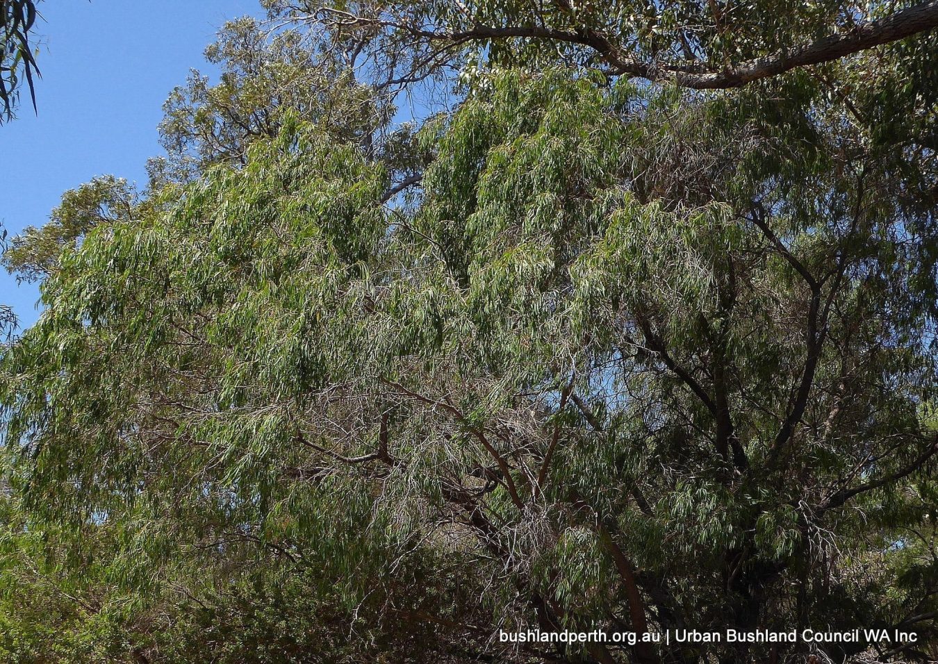
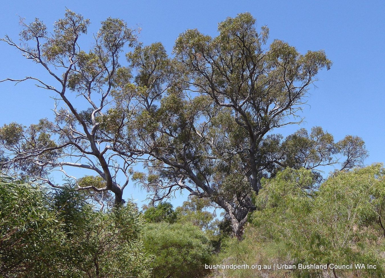
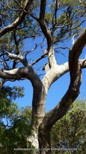 The woodland areas vary across the reserve in dominant tree species present and condition. There are generally two main areas of dominance, consisting of tuart (Eucalyptus gomphocephala), jarrah (Eucalyptus marginata) and marri trees (Corymbia calophylla).
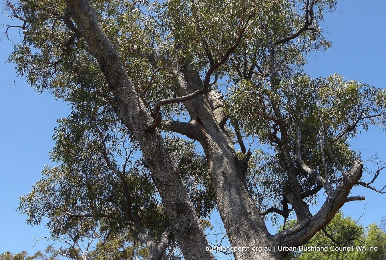
The tuart woodlands occur in a variety of locations throughout the reserve. The main areas of tuart are at the southern and northern ends of the reserve. The species is also found around the cliffs and some limestone outcrops, together with peppermint trees. There are some magnificent old tuarts in the reserve. The other woodland areas in the reserve are mainly dominated by jarrah and marri with occasional tuart.
Recreational Opportunities
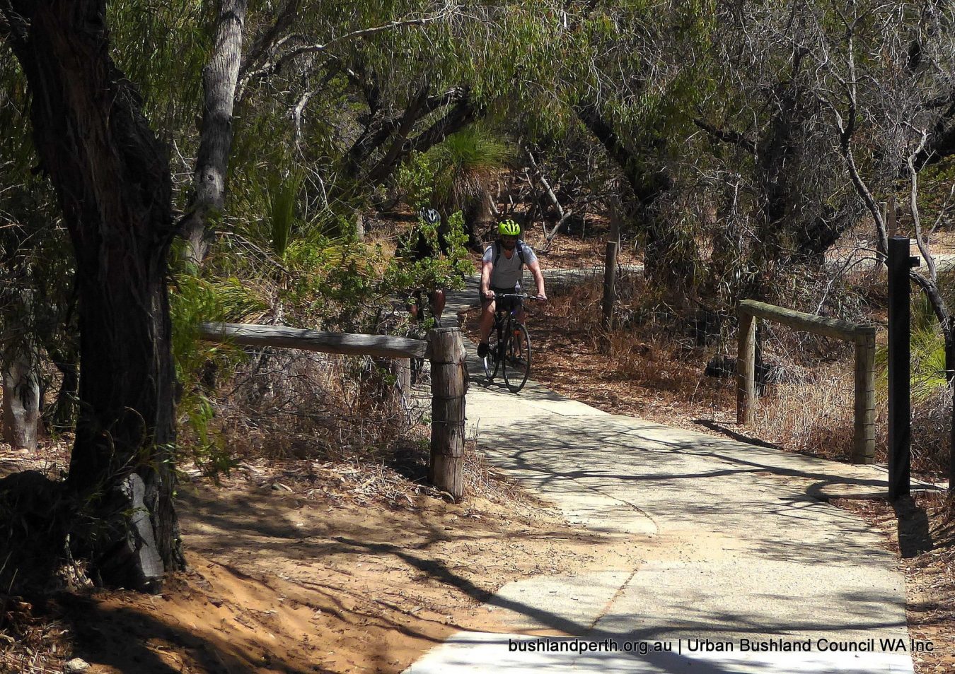
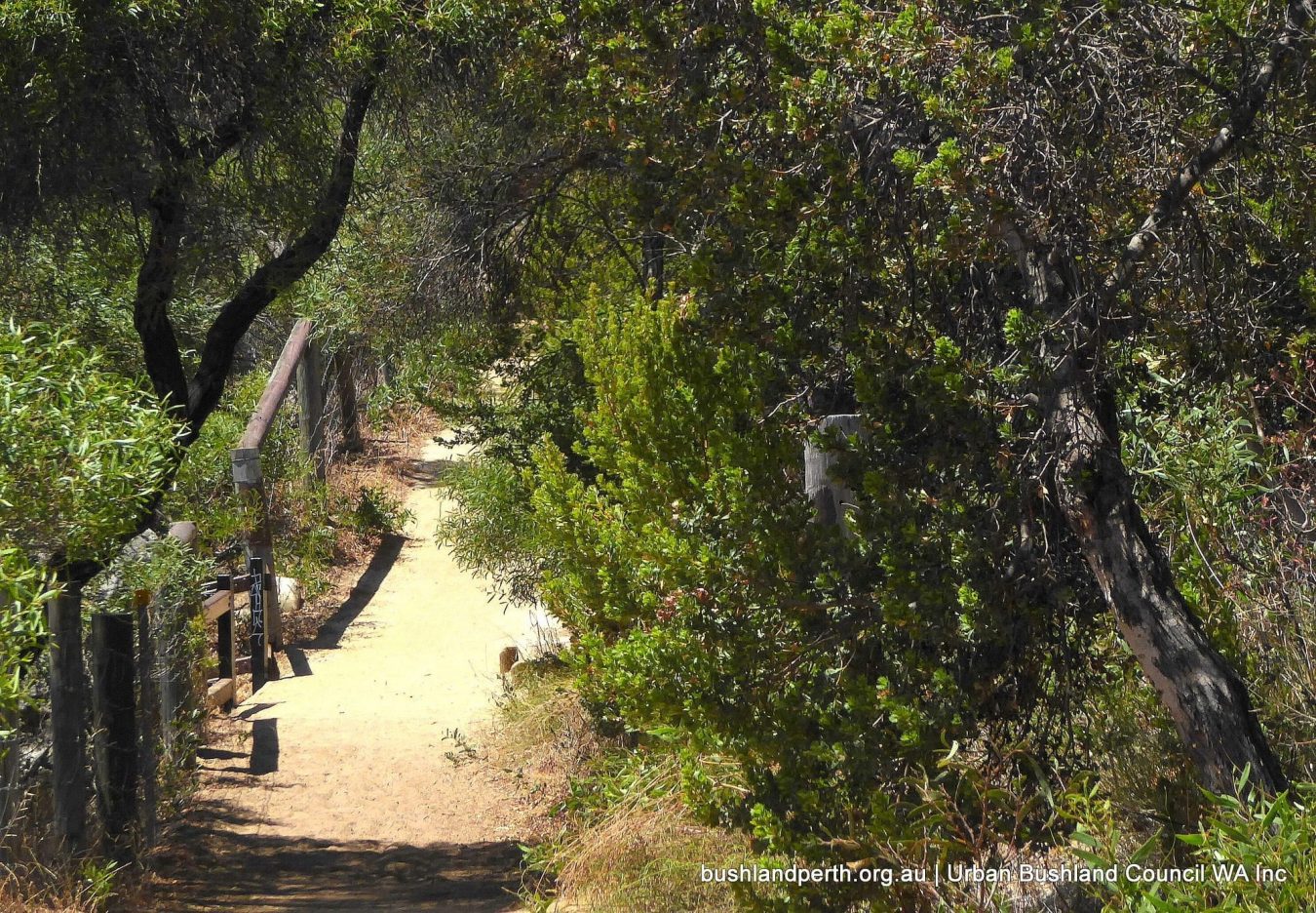
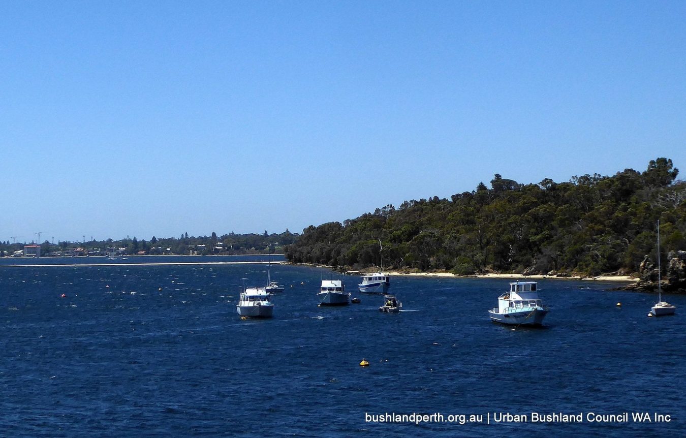
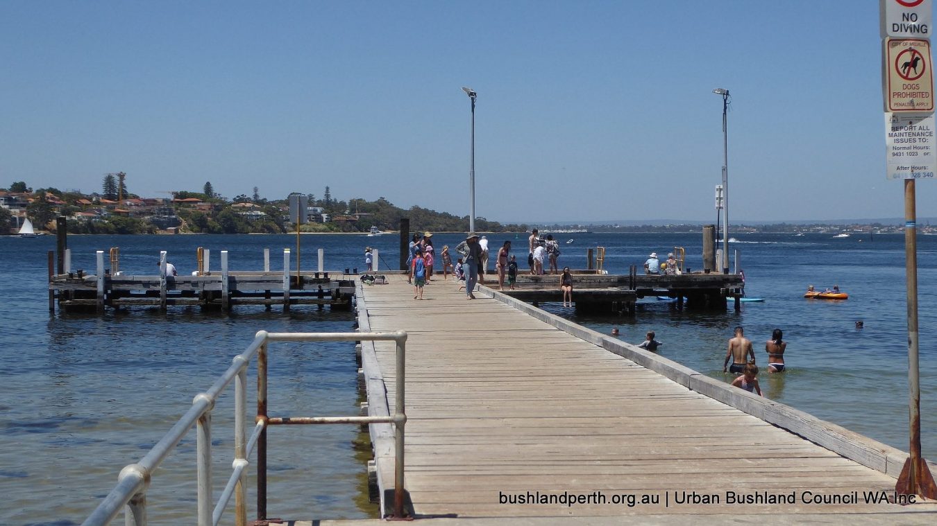
Recreational opportunities abound at Blackwall Reach. Choose from: easy walking in a bush environment, family picnicing, cycling along the dual use path, pumping the legs in a truly scenic setting, nature observation, Point Walter Spit and adjacent amenities…it’s all there.
Resources
City of Melville – Blackwall Reach and Point Walter Bushland Management Plan.
Bush Forever Site Description.
Birdlists: Blackwall Reach. Point Walter.